Riva Ridge

Service Areas
Engineering, Survey
Project Description
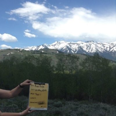
Y2 completed a geotechnical investigation report for a 1.4-mile road that was being designed on steep slope conditions in Teton County. The field investigation was completed for eight parcels along the proposed road in order to develop future structures. Y2 prepped the field work, used a split spoon drill to complete and select samples for testing, and dug dozens of boreholes. The team completed a full index of lab work including gradation testing, plastic and liquid limit testing, slope stability analysis, classification of soils, and other tasks required to complete the geotechnical analysis and investigation.
In addition to this work, Y2’s land surveying team was responsible for many aspects of the project, beginning with the initial boundary survey of all parcels. As development progressed the survey team completed Existing Conditions Surveys on several lots and along the entire length of the lower road. They also located and marked multiple iterations of proposed building envelopes and driveway alignments and performed extensive view analyses and sky-lining studies using drone imagery in conjunction with conventional survey techniques to accomplish these tasks. The team has also completed two Boundary Line Adjustments within the development, which are recorded in the Teton County Clerk’s Office.
